





23 Oct 2026


Landslides, floods, ground subsidence—the hidden danger points associated with these geological hazards are often widely distributed. Satellites can scan large areas, but cannot confirm whether every suspected site poses a genuine risk. Drones can verify sites at close range, but their numbers are limited, as is their battery life. Deciding where to go first and where to go next is a problem that requires careful calculation.
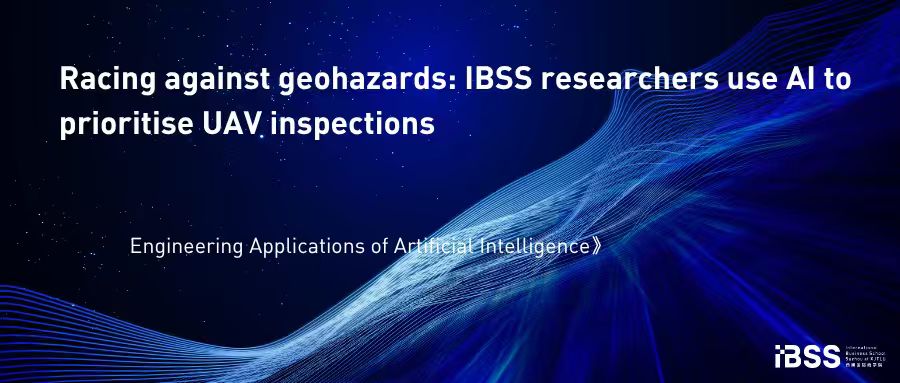
Research published in “Engineering Applications of Artificial Intelligence” by Dr Jianyu Xu of International Business School Suzhou (IBSS) at Xi'an Jiaotong-Liverpool University and his collaborators proposes a satellite–drone collaborative decision-support framework for dynamic geological hazard monitoring. The study treats potential hazard points identified by satellites as tasks that require verification, while existing geological hazard sites are selectively monitored according to urgency levels updated in real time. The route-planning problem is formulated as a customised team orienteering problem, requiring a balance between drone operating time and coverage of high-priority risks.
Because the status and priority of hazard points change as new information emerges, the study introduces a “rolling horizon” mechanism. After each drone mission, the system updates site status and priorities, allowing the route plan to be adjusted accordingly.
To solve this complex optimisation problem, the research team proposes a reinforcement learning-enhanced adaptive large neighbourhood search algorithm, abbreviated as ALNS-RL. A deep Q-network learns in real time how to select appropriate combinations of “destroy” and “repair” operators based on the current search state, thereby enhancing the adaptability of conventional adaptive large neighbourhood search.
Computational tests show that ALNS-RL performs better in both solution quality and convergence performance, with the advantages particularly evident in larger-scale instances.
From a practical perspective, this framework can help emergency agencies and drone operators prioritise urgent verification tasks, allocate drone resources more effectively, adjust flight plans based on the latest risk information, and assess the required fleet size.
The study demonstrates how artificial intelligence can enhance existing optimisation methods to improve the efficiency and responsiveness of real-world monitoring operations.
Dr Xu notes that the key to geological hazard monitoring is not how many drones you have, but when to send which one where. Satellites are responsible for discovery, algorithms for prioritisation, and drones for verification. When the three work well together, limited resources can be directed to where they are needed most.
About author
Dr Jianyu Xu is currently an Associate Professor of Management, International Business School Suzhou, Xi’an-Jiaotong Liverpool University. Jianyu got his Bachelor degree in Statistics from Peking University in 2012. Later, he got his PhD degree jointly in Statistics from Chinese Academy of Sciences and in System Engineering and Engineering Safety from City University of Hong Kong. His research interest is in reinforcement learning, quality and reliability engineering and industrial statistics.
About journal
Engineering Applications of Artificial Intelligence is an authoritative international journal in the field of artificial intelligence engineering applications, published by Elsevier and a journal of the International Federation of Automatic Control (IFAC). The journal's 2025 impact factor is 9.0, and it is ranked in the first quartile of the Chinese Academy of Sciences SCI division for Computer Science as a Top journal. The journal focuses on research and practice applying artificial intelligence methods to various real-world engineering problems, requiring papers to clearly articulate their AI contributions and their validation in real engineering scenarios.
23 Oct 2026