


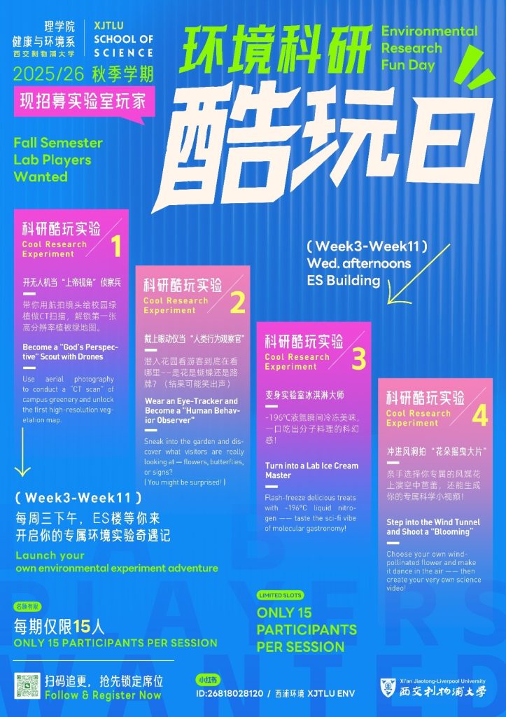
Week 3 this semester, [Environmental Science Fun Day · Activity 1] kicks off! Get a bird’s-eye view of campus, give our green spaces a “CT scan,” and generate high-resolution vegetation maps. You’ll get hands-on with:
-
Drone take off/landing & safety
-
Planning and flying an automated waypoint mission
-
Using professional software to produce high-resolution vegetation maps
(DJI Phantom 4 Multispectral)
Details
Time: Wed, September 24, 14:00–15:00
Location: ES Building, South Campus
How to register

(First-come, first-served, capped at 15 participants. Accepted students will be notified by email. Didn’t get a spot? No worries—another session will be added, and waitlisted students will be notified first.)