07 Mar 2017
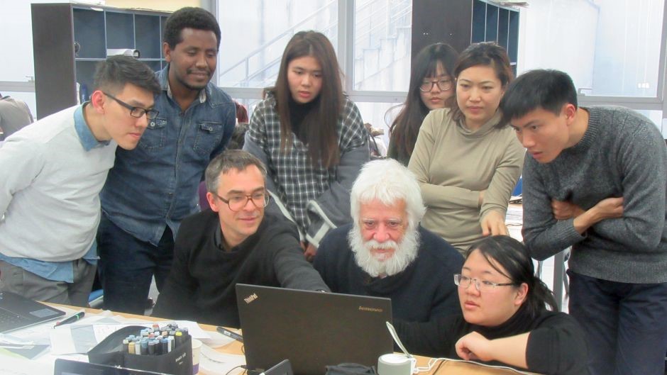
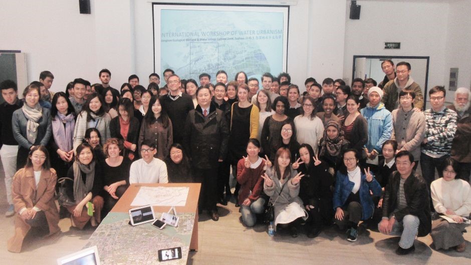
An international workshop on water urbanism, held at Xi’an Jiaotong-Liverpool University, invited students and academics from KU Leuven in Belgium and Suzhou University of Science and Technology to collaborate on creating an extensive inventory of the Jiangnan Ecological Wetland and Water Village Cultural Zone.
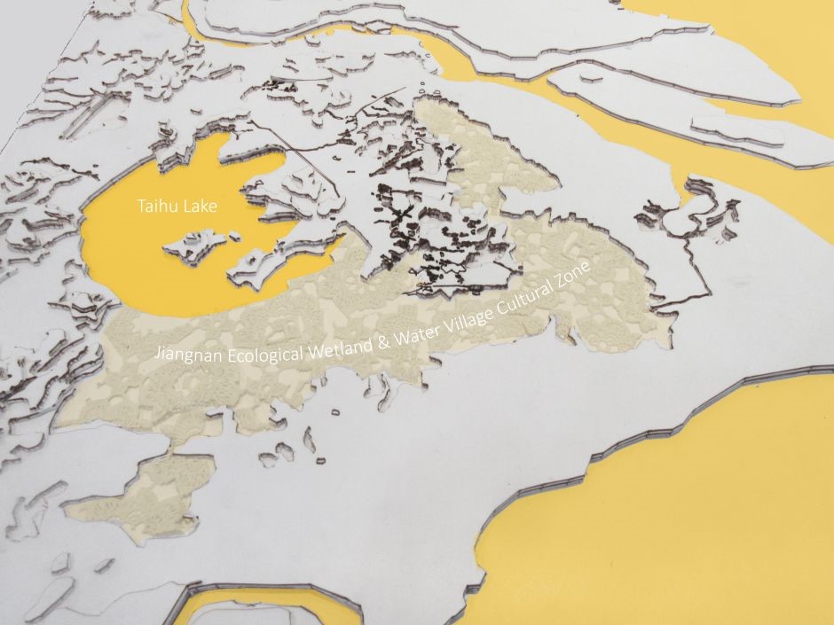
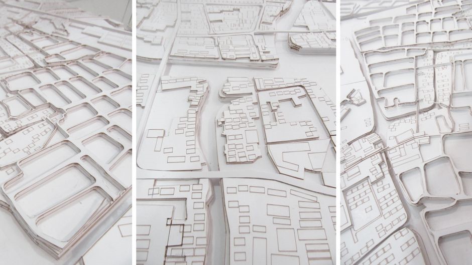
Located to the south of Suzhou in the flood plain of Taihu Lake, this low-lying area is a unique water landscape composed of lakes, fishponds and poldered farmlands, with numerous ancient water towns and small industries. The area is threatened by the development of new infrastructure, such as roads, railways, subways, and by the growth of surrounding towns Suzhou, Kunshan, and Shanghai.
“The area is seen as a potential green belt at the heart of the Yangtze River delta metropolis,” explained Christian Nolf, programme director of the MSc Urban Design and co-director of the Research Institute of Urbanisation at XJTLU.
“Recent planning visions call for its preservation due to its ecological and heritage value. The aim of the workshop was for students from all three universities to develop scenarios and context-sensitive strategies for the area.”
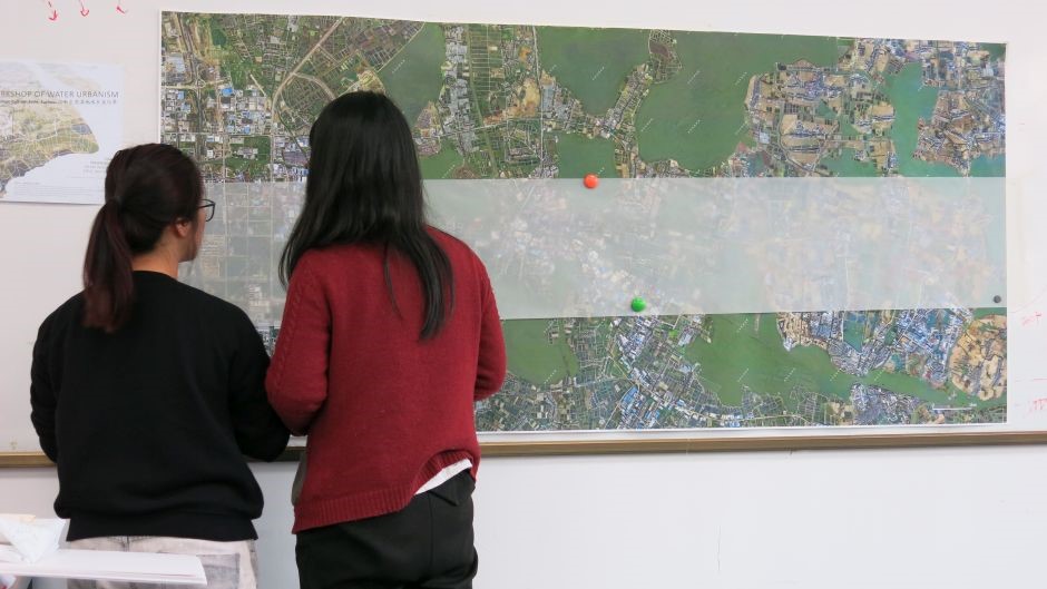
The workshop, hosted by the Department of Urban Planning and Design and the Research Institute of Urbanisation at XJTLU, combined extensive fieldwork with lectures and ‘charrettes’ - intense design sessions - culminating in final poster presentations covering various aspects of the area.
Students worked in nine groups, or ‘think tanks’, to research specific topics, beginning with a week of fieldwork near Tongli water town that included mapping exercises and interviews with local residents. They were asked to consider the following questions:
- What defines the area spatially?
- What is the ‘DNA’ of the landscape (including its origins, elements, successive transformations, activities, and people)?
- What are the main challenges for the future of this area?
They then convened at XJTLU to develop posters, videos and models about the topics, with intense design sessions interspersed with lectures by experts in water management, spatial planning, and landscape architecture.
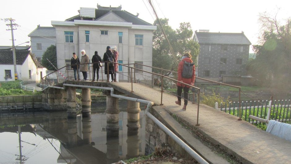
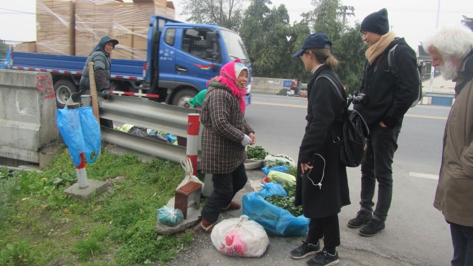
The topics of the nine posters were infrastructures; society; industry; agriculture; water; building typology; tissues; topography, and nature. Combined, they provide a comprehensive picture of the area from which to form the basis of students' design projects for the semester at all three of the participating universities.
Stephanie Dens, a studio teacher at KU Leuven, explained how the workshop will continue for her students following their return to Belgium: “We will rework the gathered material and use it for the basis for our design studio. All members of each think thank will be re-divided to form new ‘strategy groups’ to work on solutions for the area, keeping in regular communication with the other universities, and coordinating for a big round-up of presentations from all the studios in June.”
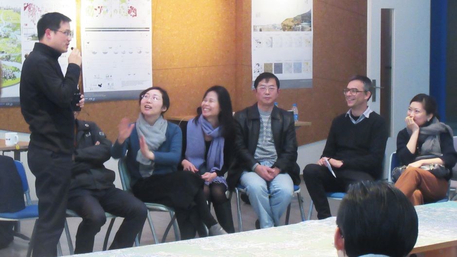
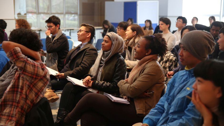
Harsh Lakhani, a student from KU Leuven, was part of the group researching topography, and explained his group’s process and findings: “We consulted maps and historical records from as far back as 1864 and found that 100 years ago the area was 90 percent water and 10 percent land. Now, the situation is the reverse. Our poster presents these changes with a cross-section of the land showing a gradual fragmentation of water bodies,” he said.
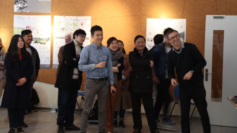
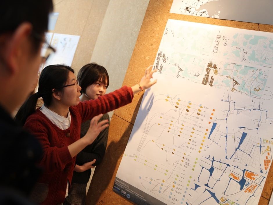
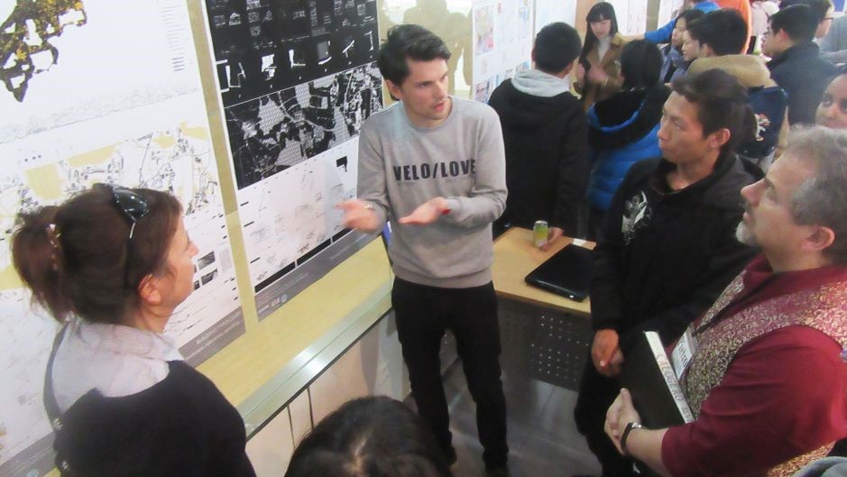
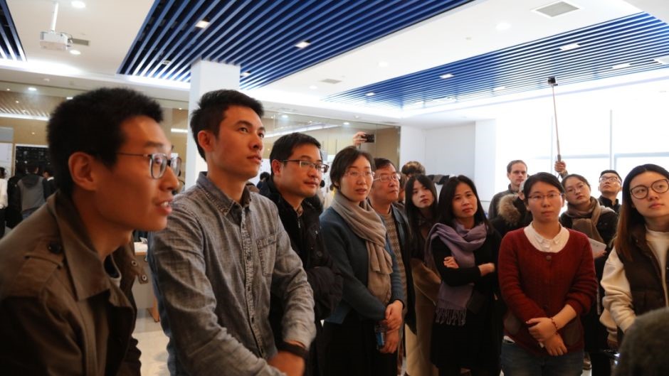
The final presentation of the posters was attended by Feng Zhu, director of the General Office of Suzhou Planning Bureau, and Chen Zhu, director of Wujiang Planning Bureau. Students presented their posters to attendees in 10-minute sessions, along with accompanying videos filmed during the fieldwork.
“Urbanisation and the preservation of this area need not be mutually exclusive,” explained Christian. “The question is, how can the development pressure in Jiangnan corridor be dynamically balanced with the preservation and reinforcement of the unique productive, ecological, social and cultural qualities of its landscape?"
He said that the organisation of the workshop demonstrated the desire of XJTLU, and of the Research Institute of Urbanisation in particular, to engage in a close partnership with local authorities in the sustainable development of the region.
“Ideas from the workshop will contribute to ongoing research on the integration of spatial planning and water management in the Yangtze River delta region, supported by the National Natural Science Foundation of China and the Jiangsu Province Program of Science and Technology,” he added.
Drone footage provided Xuxiong Xiao, edited by Chang Liu.
07 Mar 2017
RELATED NEWS
Urban planning and design alumni gather for first time
Twenty-five graduates from the Department of Urban Planning and Design at Xi’an Jiaotong-Liverpool University gathered together for the first UPD career deve...
Learn more
Conference publishing success for urban planning and design graduate
A recent graduate from the Department of Urban Planning and Design at Xi’an Jiaotong-Liverpool University had his final year project on virtual reality for u...
Learn more
Learning outside the classroom and as a community
More than 100 Year Two urban planning and design students visited different neighbourhoods in Suzhou as part of a collaboration in teaching between two modul...
Learn more
Field trip to Singapore explores urban development and practices
assets/images/news/2016/03/UPD-Marina_Bay_and_Gardens_.jpg
Learn more


